What is a Geostationary Satellite?

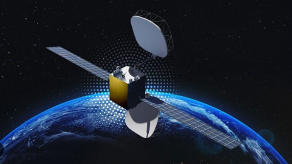
A Geostationary Satellite, also known as a Geosynchronous Equatorial Orbit (GEO) satellite, is a type of artificial satellite that orbits the Earth at an altitude of approximately 35,786 kilometers (22,236 miles) above the equator. This specific altitude allows the satellite to match the Earth’s rotation period, resulting in the satellite appearing stationary relative to a fixed point on the Earth’s surface. As a result, when observed from the ground, a geostationary satellite appears to be positioned at a fixed point in the sky.
Due to their high altitude and stationary position, geostationary satellites provide coverage over a wide area of the Earth’s surface, covering one-third of the planet’s surface. This makes them suitable for providing communication services over large regions, such as continents or oceans. They are commonly used for telecommunications, television broadcasting, internet services, and satellite navigation systems.
What is a Low Earth Orbit Satellite?

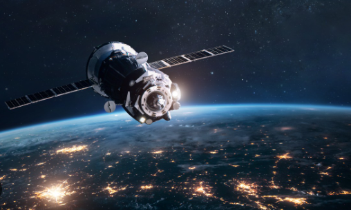
A Low Earth Orbit (LEO) satellite is a type of artificial satellite that orbits the Earth at relatively low altitudes, typically ranging from about 160 kilometers (100 miles) to 2,000 kilometers (1,200 miles) above the Earth’s surface. Unlike geostationary satellites, which orbit at high altitudes and appear stationary relative to a fixed point on the Earth’s surface, LEO satellites orbit much closer to the Earth.
LEO satellites travel at higher speeds compared to geostationary satellites due to their proximity to the Earth. These higher speeds result in shorter orbital periods and allow LEO satellites to traverse the Earth’s surface more quickly which results in lower latency and shorter signal propagation times.
LEO satellites complete multiple orbits around the Earth each day, they are commonly used for applications requiring real-time communication or data transmission, such as internet services, remote sensing, and monitoring. And purposes such as telecommunications, Earth observation, scientific research, navigation, and more.
LEO satellites often travel at high speeds relative to the Earth’s surface, completing an orbit in around 90 minutes to 2 hours. Due to their lower altitude, LEO satellites require more satellites to provide global coverage compared to satellites in higher orbits. However, advancements in satellite technology and the deployment of large constellations of LEO satellites by companies like SpaceX, OneWeb, and Amazon’s Project Kuiper are making LEO-based services increasingly viable and widespread.
LEO satellites experience atmospheric drag, which causes them to gradually lose altitude over time. As a result, LEO satellites have shorter orbital lifetimes compared to geostationary satellites and may require periodic adjustments or replacement to maintain their operational orbits.
Geostationary Satellite vs. Low Earth Orbit Satellite Communication Systems
| Basis | Geostationary Satellite | Low Earth Orbit Satellite Communication Systems |
| Altitude | Located at a high altitude (approximately 35,786 km) | Located at a low altitude (approximately 160-2,000 km) |
| Orbit Characteristics | Orbits the Earth at the same speed and direction as the Earth’s rotation, appearing stationary from a fixed point on Earth | Orbits the Earth at a much lower altitude and speed, completing multiple orbits per day |
| Coverage Area | Covers a large area of the Earth’s surface (about one-third) | Covers a smaller footprint on the Earth’s surface, requiring multiple satellites for global coverage |
| Latency | Higher latency due to longer distances and signal travel times | Lower latency due to closer proximity to the Earth and shorter signal travel times |
| Signal Propagation | Signal propagation may suffer from latency and signal attenuation due to longer distances | Signal propagation is more direct with lower latency and less signal attenuation |
| Constellation Size | Typically requires fewer satellites to achieve global coverage | Requires a larger number of satellites to provide global coverage |
| Orbital Lifetime | Longer orbital lifetime due to higher altitude and slower orbital speeds | Shorter orbital lifetime due to atmospheric drag and faster orbital speeds |
| Deployment Complexity | Requires complex ground infrastructure for tracking and communication due to fixed positions | Requires sophisticated tracking and communication systems to manage multiple satellites in orbit |
| Use Cases | Ideal for applications requiring continuous coverage, such as television broadcasting and communication networks | Ideal for applications requiring low-latency communication, such as satellite internet and remote sensing |